New technological developments in computers,
particularly interactive workstations and color monitors, have facilitated
and enhanced the use of both types of potential field data. LITHOPROBE
is taking advantage of these developments, as exemplified by recent
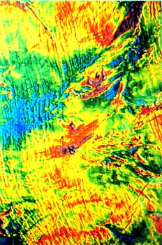
work in the Kapuskasing Structural Zone (see slide) where some geological
features have been better delineated and others extended beyond
their mapped locations by means of processed gravity and magnetic
maps. In the Lithoprobe East Transect, characteristic geological
features on Newfoundland have been extended across the Gulf of St.
Lawrence to Nova Scotia and New Brunswick on the basis of analysis
of combined marine magnetic and aeromagnetic data.
|