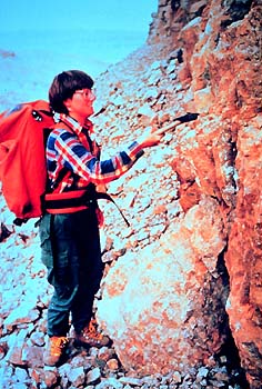
Geological mapping is the foundation upon which
all of the LITHOPROBE transects are based. Much of this work is
complete at the reconnaissance level through the systematic geological
mapping that is the responsibility of the federal and provincial
governments. However, more detailed field mapping is required over
those transects for which such information is not already available.
To this end, geologists from the GSC, provincial government geological
surveys and universities are making special efforts to carry out
the detailed field mapping required for each transect.
Another.htmlect of geological mapping often occurs after the acquisition
and preliminary interpretation of the seismic reflection data along
a transect. Results inferred from the seismic sections point out
the need for additional mapping to resolve ambiguities in the interpretation
or to investigate specific seismic features in terms of their geological
cause. This procedure has already been applied in most active transects.
|